The Immunofixation Electrophoresis (IFE) Image Recognition project is a breakthrough tool utilizing dRailways rely on vast networks of infrastructure—especially electrification systems like overhead lines and substations. OpenInfraMap is a powerful open-source tool that helps you see this hidden network.
🌐 What is OpenInfraMap?
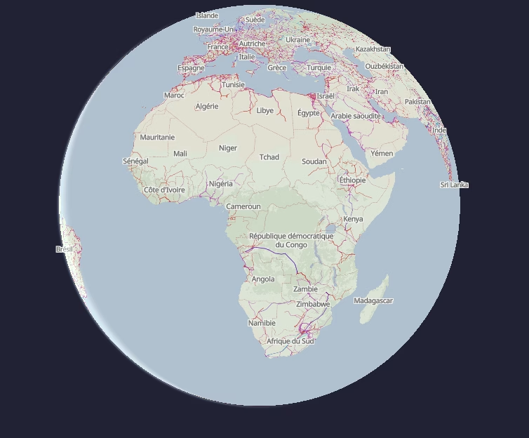
OpenInfraMap is a website that shows power and infrastructure data around the world. It uses open data from OpenStreetMap (OSM) to visualize:
- Railway electrification (AC, DC, voltage types)
- Power lines and substations
- Gas pipelines and telecom lines
For railway professionals, planners, and students, this tool makes it easy to view electrified railway sections and how they connect to the wider power grid.
🔧 Key Features for Railways
- Filter by railway electrification type (e.g., 25kV AC, 3kV DC)
- Zoom in to see power support masts and line paths
- Understand how your network connects to substations
- Useful for planning upgrades, maintenance, and new routes
- Fully based on OpenStreetMap—anyone can contribute
🎯 Who Can Use It?
- Rail engineers and maintenance teams
- Government transport departments
- Urban planners and researchers
- Educators and students in transportation fields
💡 Why It Matters
Access to clear, open maps of electrification networks makes railway planning smarter and faster. It reduces duplication, improves maintenance planning, and supports digital twin projects for smart infrastructure.
🔗 Try it yourself: https://openinframap.org
You don’t need an account—just zoom, click, and explore.
📣 Want to contribute? Update railway electrification info on OpenStreetMap, and it’ll show up on OpenInfraMap!
